Knowing your current location is often more than just a simple query. It can be the key to unlocking a wealth of information, from navigating unfamiliar streets to finding the nearest restaurant or understanding the history and culture surrounding you. Whether you’re lost in a bustling city, exploring a remote hiking trail, or simply curious about your surroundings, being able to “identify the place” is crucial for a fulfilling travel experience. This guide will equip you with various methods and tools to pinpoint your location and enhance your journey.
Using Technology to Identify the Place
In today’s digital age, identifying your location is often as simple as reaching for your smartphone. GPS technology has revolutionized navigation, providing real-time location data with remarkable accuracy.
GPS Apps for Precise Location Pinpointing
Numerous apps leverage GPS technology to provide precise location information. Google Maps, Apple Maps, and other navigation apps not only show your current location on a map but also offer directions, points of interest, and even street-view imagery. These apps are invaluable for navigating unfamiliar territories and discovering hidden gems.
Offline Maps for Remote Exploration
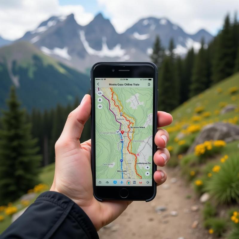
While online maps are convenient, venturing off the beaten path often means limited or no internet connectivity. Offline maps, downloadable through apps like Maps.me and Here WeGo, allow you to identify the place even in the most remote areas. These maps store detailed cartographic data on your device, ensuring you never lose your bearings.
Utilizing Wi-Fi and Cellular Networks
Even without GPS, your device can often approximate your location using Wi-Fi and cellular network signals. This method is less precise than GPS but can still be helpful in urban areas with dense network coverage.
 Using offline maps for hiking in remote areas
Traditional Methods for Identifying the Place
While technology offers powerful location tools, traditional methods still hold value, especially in situations where technology fails.
Reading Maps and Using a Compass
Understanding how to read a physical map and use a compass is a fundamental skill for any adventurer. These tools provide a sense of self-reliance and can be lifesavers in emergencies. Learning basic map reading and compass navigation can significantly enhance your exploration abilities.
Observing Landmarks and Natural Features
Developing an awareness of your surroundings is crucial for identifying the place without relying solely on technology. Observing prominent landmarks, natural features like mountains and rivers, and even architectural styles can help you orient yourself and understand your location within a broader context.
Cultural and Historical Context for Identifying the Place
Identifying a place goes beyond simply knowing its coordinates. Understanding the cultural and historical context adds depth to your travel experience.
Researching Local History and Customs
Before embarking on a journey, researching the local history and customs of your destination can enrich your understanding of the place. This knowledge allows you to appreciate the significance of landmarks, monuments, and cultural practices, connecting you to the spirit of the location.
Engaging with Local Communities
Interacting with local communities is a powerful way to identify the place on a deeper level. Conversations with locals can reveal hidden gems, untold stories, and unique perspectives that guidebooks often miss. Embrace the opportunity to learn from the people who call the place home.
Conclusion
Identifying the place is a multi-faceted process, encompassing both technological prowess and traditional skills. By combining these methods with an appreciation for cultural and historical context, you can transform a simple location query into a richer, more meaningful travel experience. Embrace the journey of discovery and unlock the secrets of each place you encounter.
FAQs
- What is the most accurate way to identify my location? GPS technology, used by most smartphone mapping apps, provides the most accurate location information.
- How can I identify my location without internet access? Download offline maps before your trip or utilize traditional methods like map reading and compass navigation.
- Why is it important to understand the cultural context of a place? Cultural context adds depth to your travel experience, allowing you to appreciate the significance of landmarks and local customs.
- How can I learn more about the history of a place? Researching online, visiting local museums and libraries, and engaging with local communities can provide valuable historical insights.
- What are some essential tools for identifying a place while traveling? A smartphone with mapping apps, offline maps, a physical map, a compass, and a curious mind are valuable tools for any traveler.
- What if my phone battery dies while I’m trying to identify the place? Having a backup power source, like a portable charger, is highly recommended, especially when relying on your phone for navigation.
- How can I improve my map reading skills? Practice reading maps in familiar areas and consider taking a basic navigation course to enhance your skills.
PlaTovi, your trusted travel companion, specializes in crafting unforgettable travel experiences within India and abroad. Whether you’re seeking a traditional tour package, assistance with hotel bookings, or help with visa procedures, PlaTovi is here to cater to all your travel needs. Contact us today at [email protected] or +91 22-2517-3581 to start planning your next adventure!